-

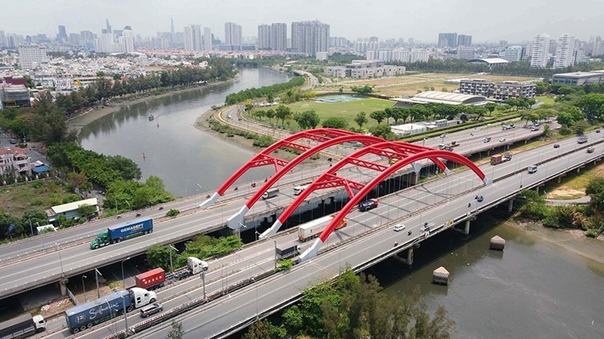
Ong Lon Bridge on Nguyen Van Linh Boulevard, Phu My Hung urban area, Ho Chi Minh City. (Photo: Trung Tuyen-VNA)
-

Nam Quang 2 urban area is part of Phu My Hung urban area in Tan Phong ward, District 7. (Photo: Trung Tuyen-VNA)
-

The Nhieu Loc – Thi Nghe canal stretches about 8.7 kilometres through districts 3, Phu Nhuan and Binh Thanh. It has made significant contributions to reducing inundation and environmental pollution, as well as bettering livelihoods of more than 1.2 million locals. (Photo: Thanh Vu – VNA)
-

Stevedoring services at Tan Cang – Cat Lai port, Ho Chi Minh City (Photo: Thanh Vu – VNA)
-

A flyover crossing over Sai Gon River is as part of Ho Chi Minh City’s first metro line. (Photo: An Hieu – VNA)
-

Starlight Bridge in Phu My Hung urban area in district 7 is one of the most gorgeous bridges in Ho Chi Minh City. (Photo: published by VNA)
-

The An Suong interchange helps tackle bottlenecks in traffic congestion and accidents in the city’s northwestern gateway, connecting the city with Tay Ninh province through National Highway 22, and the Mekong Delta provinces through National Highway 1. (Photo: Tien Luc – VNA)
-

Landmark 81 stands tall at 461.5 metres on Nguyen Huu Canh street by Saigon River, Binh Thanh district. This is the tallest skyscraper in Vietnam. (Photo: Thanh Vu – VNA)
45 years since Sai Gon – Gia Dinh named after President Ho Chi Minh
Vietnamese southern hub Sai Gon – Gia Dinh was officially named after President Ho Chi Minh on July 2, 1946. Over the past 45 years, Ho Chi Minh City has made unceasing efforts to promote its innovation, resilience and pioneer in many sectors, taking lead in the country’s socio-economic development.


