 |
| Photo: Cong Kien |
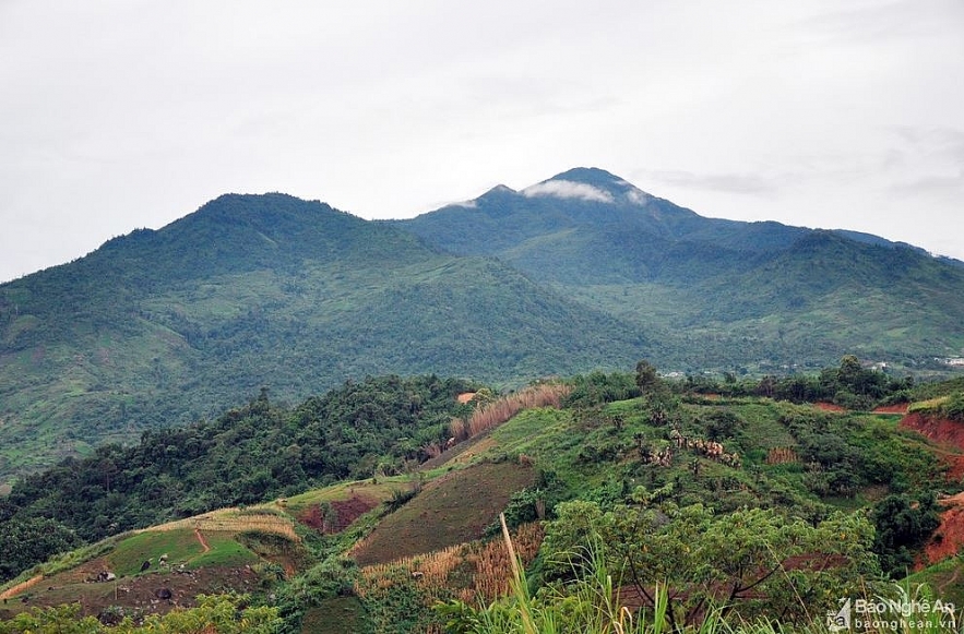
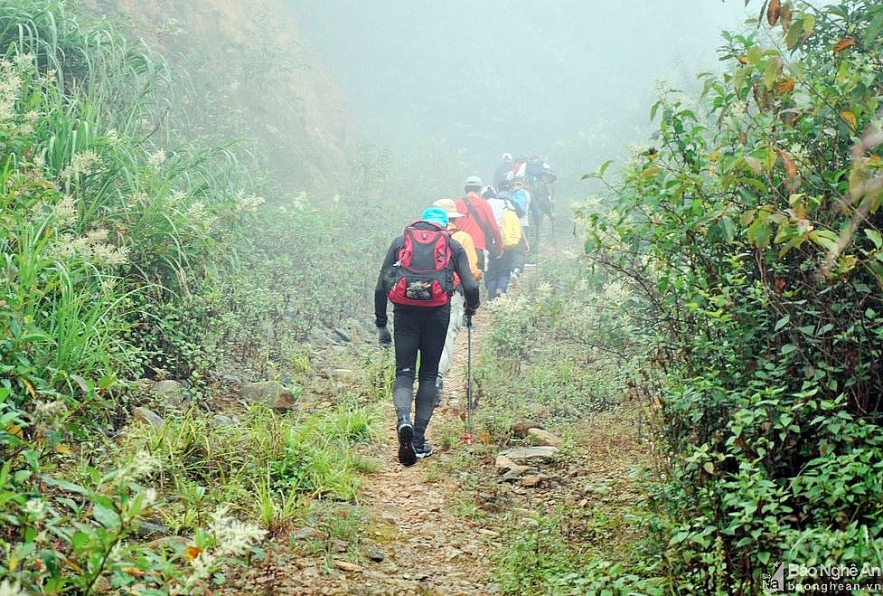
It is far 15 km from the center of Na Ngoi commune, Ky Son, Nghe An, visitor can take a pick-up truck to the Buoc Mu Border Guard Station (belonging to the Na Ngoi Border Guard Post). From here, visitors can conquer the top of Puxailaileng by walking along the border patrol road. Hiking treks nearly 20 km in length mixed in dense fog, sometimes pouring down in the rain forests.
 |
| Photo: Cong Kien |
There are many dangerous landslides on the way. Stone and trees from the mountainside were swept down the path by water, and visitors must follow the erosion to move forward. Photo: Cong Kien
 |
| Photo: Cong Kien |
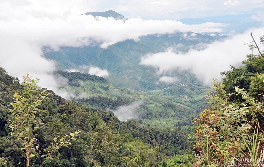
On the journey to conquer, there were sections where the whole group stopped to admire the immense and majestic scenery of the great mountains, mountains, clouds, and the village hidden in the white clouds.
During their rest time, the visitors take advantage of modern equipment and software to determine the altitude and navigate to the top of Puxailaileng.
 |
| Photo: Cong Kien |
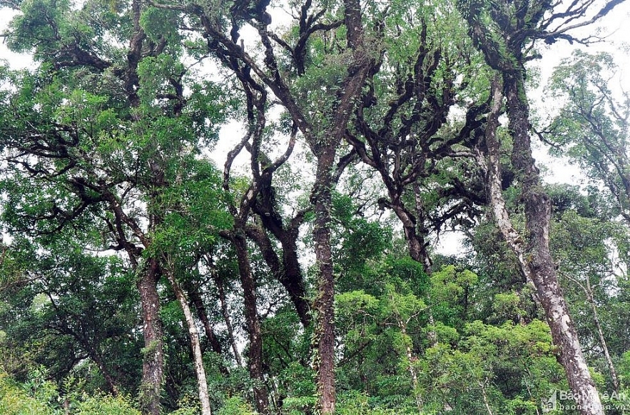
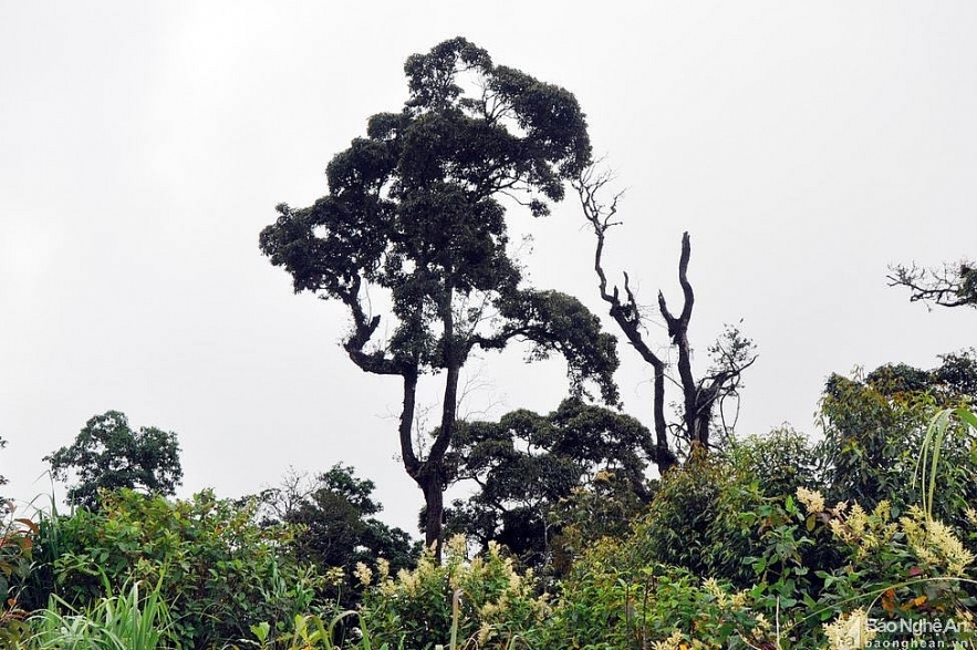
The higher it goes, the lower the temperature is, the cooler the air becomes. In particular, there are primeval and ancient savanna forests here, with bold primitive beauty and attractive discovery steps.
There are tall trees, branches radiating into fancy shapes.
 |
| Photo: Cong Kien |
 |
| Photo: Cong Kien |
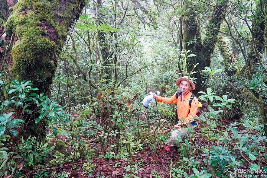
The joy of a visitors as he passed through the beautiful primitive forest and rich vegetation to get close to the top of Puxailaileng.
 |
| Photo: Cong Kien |
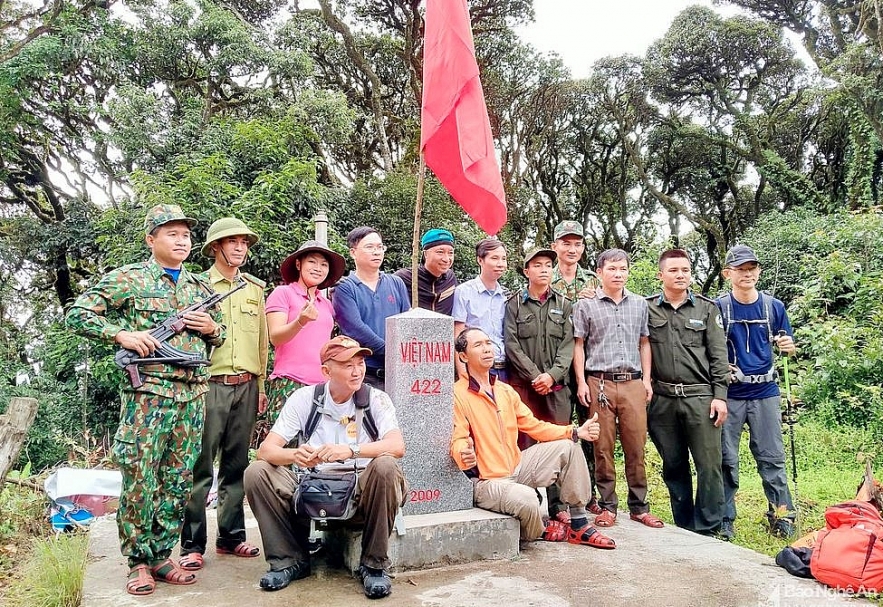
Before going to the top of Puxailaileng, you can take a rest in Milestone 422, delimiting the border between Vietnam and Laos. From here, only a few hundred meters to reach the top of Puxailaileng, but the higher you go , the denser the path becomes. Photo: Cong Kien
 |
| Photo: Cong Kien |
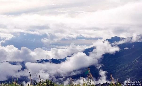
From here, you can only see mountains and white clouds, it feels like reaching out to the sky. Mong people in Na Ngoi commune often call this place “high land, low sky”


