Nho Que River flows from the area of Nghiem Son Mountain that is 1500 meters height. This river is not too long, about 46 kilometers, in which the upper area accounts for more than 5 kilometers is the border of two countries Vietnam – China, the rest part flows through Ha Giang and Cao Bang province.
Thanks to the advantage of upper area with quite slope, strong flow through ruggered rock, it creates waterfall in the middle of the valley. Nho Que River flows through the Tu San canyon and Ma Pi Leng Pass of Meo Vac district, it is far about 15kilometers from Lung Cu.
Trails from Dong Van to the Tu San western ravine are vey deserted and winding. With narrow path, a lot of ruggered rock, it makes people scare when contemplateing abyss. However, visitors can enjoy red bombax throughout the rice terraces in the mountainside, back pass and the image of Nho Que River.
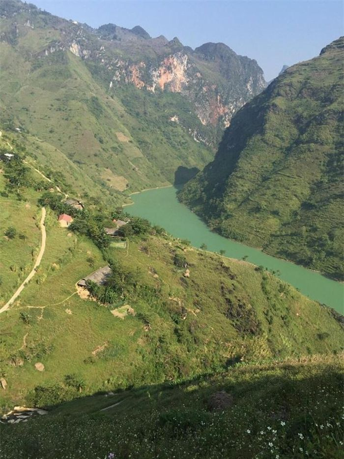 |
| The 192 km river takes waters from China, passes the border at Lung Cu, goes through the Dong Van and the famously dangerous Tu San Gorge, then goes along Ma Pi Leng Pass to Meo Vac to finally turn southeasterly into Cao Bang territory and pours into the Gam river. (Photo: Baomoi) |
The catchment has an area of 6052 km ² (2010 km² in Vietnam). Nho Que is a major tributary on the right bank of the Nhiem River. This is the river brings economic value to locals: serving plentiful water to agricultural activities in the dry season.
It is also a beautiful destination for tourists. Standing on Ma Pi leng mount, tourists can contemplate a river like a silky fillet looming in fog which brings tourists a pleasant sensation of a naturally romantic masterpiece. The river is concerned as the mysterious of nature.
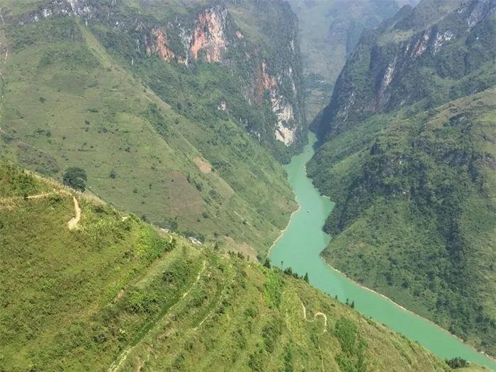 |
| Nho Que River was classified as one of the most unique tectonic valleys in Vietnam (Photo: Baomoi) |
The beauty of the Nho Que river
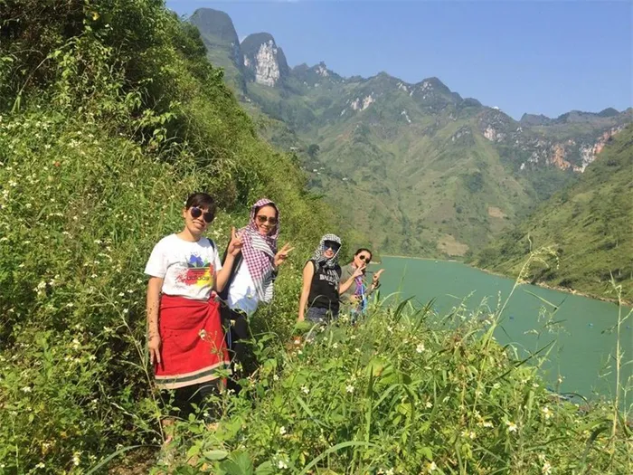 |
| Tu San Alley located on the famous Nho Que River is one of the deepest alleys in Southeast Asia, located between Dong Van District and Meo Vac District in Ha Giang Province. With a height of 1500m, a depth of 700 – 900m, flowing in the direction of Northwest – Southeast, Tu San alley brings poetic beauty, mysterious as the mysterious coloured jade thread, hidden in the rugged Northeastern mountain forest. (Photo: Baomoi) |
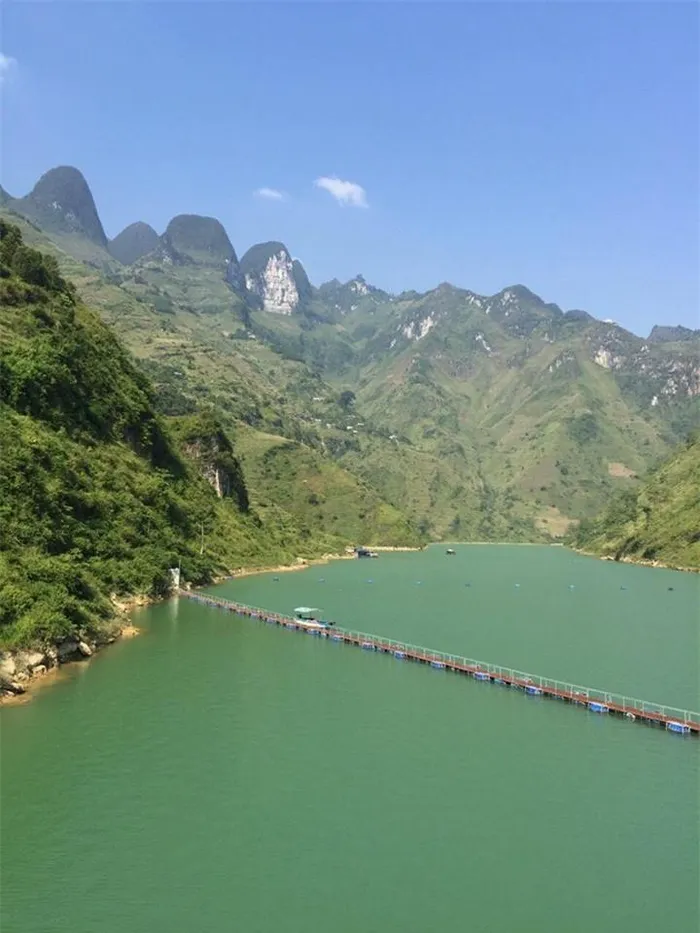 |
| Tu San is the miracle of creation millions of years ago when this place was still submerged in the vast ocean, in the process of changing the Earth’s crust, the water receded, leaving the unique geological herritage until today. (Photo: Baomoi) |
Nho Que river is most talked about name among famous places of Ha Giang province – which is known as the most famous tourist destination in northern of Vietnam. If you want to travel to Vietnam, you should go to Ha Giang province and visit Nho Que river. From a distance, Nho Que river look like a light- blue silk banding across the majestic mountain.
Nho Que river is considered one of the deepest canyons in Southeast Asia and is one of the unique geologic valleys in Vietnam.
Going on the peak of the four seasons, floating in the clouds, looking down to thousands of meters deep, you can admire the Nho Que river winding around the mountain and feel the majesty of nature.
The history of Nho Que River
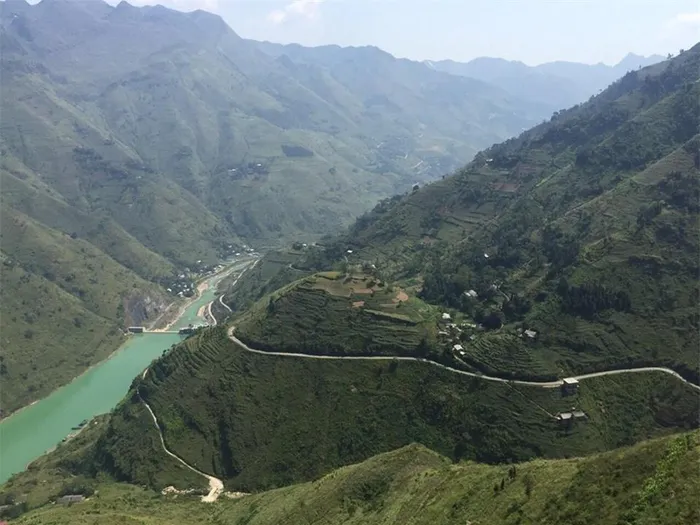 |
| Starting at the height of 1.200m above sea level, the Nho Que river section in Vietnam goes through a spectacular landscape, rushing down steep slopes, 18,7 percent at times, passing deep gorges between cloud covered mountains, rumbling down high falls, and winding tortuously in lush valley between terraced paddies. (Photo: Baomoi) |
One upon a time, a huge torrent of water suddenly rushed into the valley of Ha Giang mountains. Here the violent flow was blocked by a colossal rock. The River God asked the mountain God to move aside for the water to bring life to the barren land on the other side.
The mountain God pretended to be deaf and stayed put. Seeing what was going on, the King of Heaven ordered the Thunder God ( Vietnamese calls “Thien Loi”) to settle the matter.
At the night, the thunder god named Thien Loi raised his sword and the sky brightened in an eye blinding lightening. He swung down the sword, and the earth trembled under a deafening thunderbolt.
The heavy rock was split into two, and the blocked body off water rolled through. Since that time, the vegetation grew lush green the flow, life of the Ha Giang people has become better, and Nho Que River is one of the most important place of the Ha Giang province.
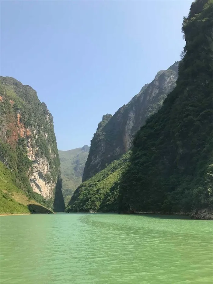 |
| Nho Que River’s water is crystal green throughout the year (Photo: Baomoi) |
Nowadays, Nho Que River has become to favorites landscape. That’s how legends go about Nho Que river. The 192 km river takes waters from China, passes the border at Lung Cu, goes through the Dong Van and the famously dangerous Tu San Gorge, then goes along Ma Pi Leng Pass to Meo Vac to finally turn southeasterly into Cao Bang territory and pours into the Gam river. This 50 km long section provides water for a 6000 km2 basin.
Starting at the height of 1.200m above sea level, the Nho Que river section in Vietnam goes through a spectacular landscape, rushing down steep slopes, 18,7 percent at times, passing deep gorges between cloud covered mountains, rumbling down high falls, and winding tortuously in lush valley between terraced paddies. Describing the Nho Que river by the adjectives such are: Wild, majestic, and picturesque.


