With so much beauty in England, Scotland, Wales and Northern Ireland to discover, it’s no surprise that the UK has some of the most alluring driving roads.
There’s no better time to enjoy the UK’s great roads than in the spring. Winter is already a distant memory, while summer holidaymakers are some way off.
Here are some of the best driving roads, so whether you want to amble through lush countryside enjoying panoramic views or tackle challenging routes with hairpin bends and multiple elevations, there’s something for everyone.
1. EVO Triangle
 |
| Photo: Slap Adventures |
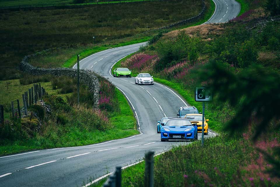
One of the most famous stretches of roads in the British isles, made so well known by the magazine it is named after. As you can expect from a road to test road cars by some of the best motoring journalists around, it is a true test of a performance car, probably a quick sports car needed to take full advantage. However be warned that the well known nature of this road has led the Welsh Government to festoon the road with average speed cameras all the way around, so you will need to keep within the speed limit. Having driven this road, I doubt anyone will really be testing the limits that the magazine did within the current speed limits, so this road may be best avoided for those wanting to feel the fizz on the public roads. For those who want to make the pilgrimage after reading about the road so often, then it is still worth a visit and tying up with the road to Bala.
Starting at Cerrigydrudion and heading over to Pentrefoelas along the A5, this is the bottom of the triangle and the busiest section of this road. There is not much to do along this road apart from enjoy the scenery.
Turning right in Pentrefoelas onto A543 this is where the road begins and slowly climbs. This is a fairly narrow stretch, with walls on both sides. The landscape opens up and as you continue turns into moorland, with the walls falling away and being able to really string the corners together. The views seemingly go on forever and it really could be a fast section. Having driven it in a Lotus Exige it is difficult not to push too hard as it is a quiet road with great visibility, so potentially this road may be best enjoyed in a 1.0 litre Fiesta…
As you approach the Lake known as Llyn Braen you turn right on to the B4501. This road is lined in sections with pine trees and contains long straights. Driving along there are always a few bumps and humps, where the views of various Subaru’s, Mitsubishis and other assorted cars had all four wheels off the ground. The road sweeps down past Lake Llyn Brenig, which is barely visible behind the trees. The road heads down and the trees thin, with the views back opening up and plenty of places to stop and get a photo, according to Driving Road Guys.
2. Glasgow to Fort William
 |
| Photo: Wikipedia |
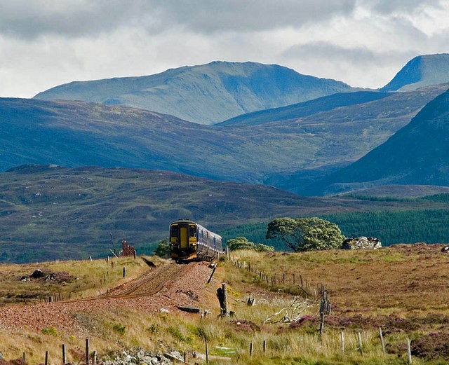
This breathtaking 140-mile road trip follows the A82 and takes you from Glasgow right up into the Scottish Highlands. Often called the gateway to the Highlands, it takes about three hours, but allow for much longer because you won’t be able to resist the urge to stop off along the way to take in the amazing views.
The route takes you northbound on the A82, and on the way you will see Loch Lomond, Loch Ness and Ben Nevis – the tallest mountain in the British Isles.
You’ll also pass through Tarbet, Crianlarich, Tyndrum and Rannoch Moor, before reaching Glen Coe. Then it’s on to South Ballachulish and Loch Leven, before following the banks of Loch Linnhe to Fort William.
3. Snake Pass (A57) – Peak District
 |
| Photo: BBC |
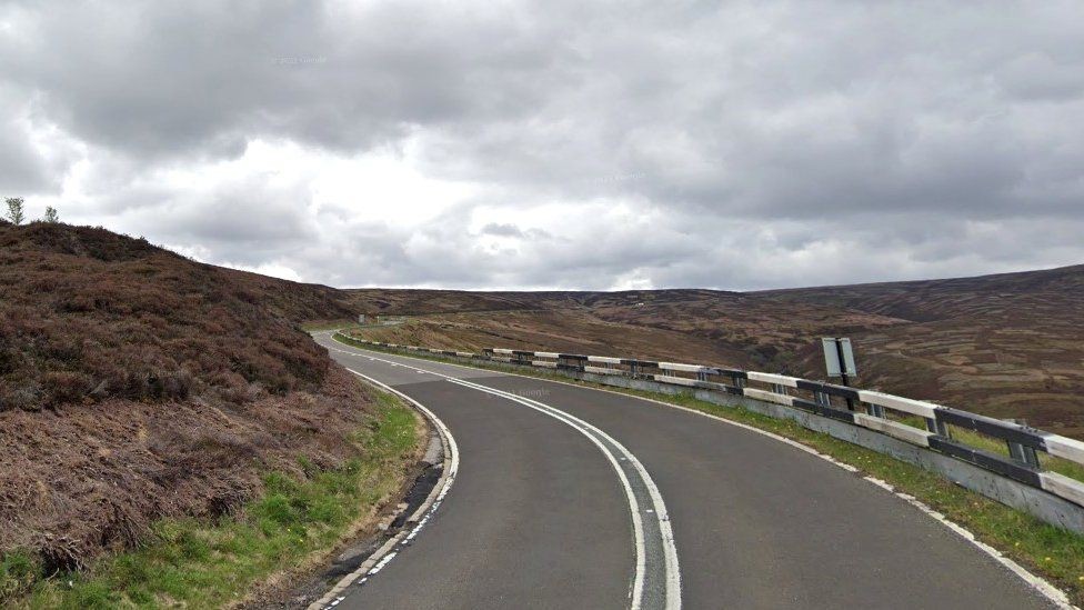
Snake Pass is a hill pass in the Derbyshire section of the Peak District, crossing the Pennines between Glossop and the Ladybower Reservoir at Ashopton. The road was engineered by Thomas Telford and opened in 1821. The pass carries the A57 road between Manchester and Sheffield, but it is no longer the main signposted route between those two cities, with traffic instead directed through the Woodhead Pass to the north.
Like several other roads that cross the Pennines, Snake Pass has a poor accident record compared with roads in the UK generally, although more favourable compared with other roads in the area. It is regularly closed in winter because of snow, and has seen several longer-term closures owing to subsidence following heavy rain. The road remains a popular route for tourists and motorcycles, however, and sections have been used for semi-professional cycling races such as the Tour of Britain.
Snake Pass runs through the National Trust’s High Peak Estate, and lies within the High Peak borough of Derbyshire; much of it falls within the Hope Woodlands parish, the remainder being within the Charlesworth parish. It is part of the shortest route by road from Manchester to Sheffield.
The pass starts east of Glossop and climbs to the Pennines watershed between the moorland plateaux of Kinder Scout and Bleaklow to a high point of 1,680 feet (510 m) above sea level, where it crosses the Pennine Way. After this, it passes a public house that used to be known as the Snake Inn, and descends through forest to the Ladybower Reservoir at Ashopton.
The name of the road matches its winding route, but actually derives from the emblem of the Snake Inn, one of the few buildings on the high stretch of road. In turn, the pub’s name and sign were derived from the serpent on the Cavendish arms of William Cavendish, 6th Duke of Devonshire.[4] In the early 21st century, the inn was renamed the Snake Pass Inn, such that the inn now refers to the road that referred to itself.
4. The Cheddar Gorge – Bath to Cheddar, England
 |
| Photo: Discover Frome |
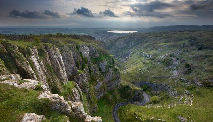
Cheddar Gorge is a limestone gorge in the Mendip Hills, near the village of Cheddar, Somerset, England. The gorge is the site of the Cheddar show caves, where Britain’s oldest complete human skeleton, Cheddar Man, estimated to be 9,000 years old, was found in 1903. Older remains from the Upper Late Palaeolithic era (12,000–13,000 years ago) have been found. The caves, produced by the activity of an underground river, contain stalactites and stalagmites. The gorge is part of a Site of Special Scientific Interest called Cheddar Complex.
Cheddar Gorge, including the caves and other attractions, has become a tourist destination. In a 2005 poll of Radio Times readers, following its appearance on the television programme Seven Natural Wonders (2005), Cheddar Gorge was named as the second greatest natural wonder in Britain, surpassed only by Dan yr Ogof caves. The gorge attracts about 500,000 visitors per year.
The gorge was formed by meltwater floods during the cold periglacial periods which have occurred over the last 1.2 million years. During the ice ages, permafrost blocked the caves with ice and frozen mud and made the limestone impermeable. When this melted during the summers, water was forced to flow on the surface, and carved out the gorge. During warmer periods, the water flowed underground through the permeable limestone, creating the caves and leaving the gorge dry, so that today much of the gorge has no river until the underground Cheddar Yeo river emerges in the lower part from Gough’s Cave. The river is used by Bristol Water, who maintain a series of dams and ponds which supply the nearby Cheddar Reservoir, via a 137-centimetre (54 in) diameter pipe that takes water just upstream of the Rotary Club Sensory Garden, a public park in the gorge opposite Jacob’s Ladder.
5. Cat and Fiddle – Peak District
 |
| Photo: Wikipedia |
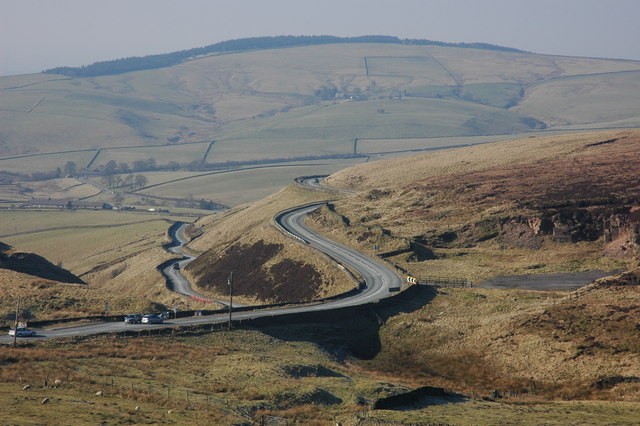
Named after the pub at the summit of this awesome section of road, this is one of the most famous and challenging routes in the Peak District. Taking you from Buxton in Derbyshire to Macclesfield in Cheshire, it’s about 12 miles and takes less than 30 minutes. Start off on the A53, then join the A54 followed by the A537. Popular with bikers, it features a series of dramatic bends with steep drops to the side, so beware.
The views of open moorland are particularly stunning from Goyt’s Moss. The choice then is whether to stop off for lunch at the Cat and Fiddle Inn (the second highest pub in England) before heading back to Macclesfield…
6. Black Mountain Pass
 |
| Photo: Booking.com |
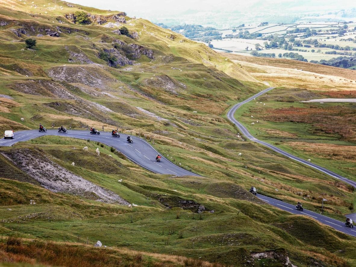
The Black Mountain Pass (A4069) is a spectacular driving road that twists, climbs, wriggles and dips for 19 miles between Llandovery and Gwaun-Cae-Gurwen in the Brecon Beacons National Park.
This is widely regarded as the best driving road in Wales thanks to its sharp hairpins, blind corners, adrenaline-pumping exposure, and magical mountain views. There’s a good mixture of fast and tight sections, with a thrilling series bends and straights that you’ll never want to end.
This visually stunning drive follows the A4069 through the Black Mountain range, rising to a high point of 493 metres above sea-level at Foel Fawr with over 600 metres of both ascent and descent along the way. The undulating terrain gives you clear views of the road stretching miles ahead, with plenty of laybys where you can stop off to admire the scenery.
The Brecon Beacons is home to the highest ground in southern Britain, and this route shows off many of its most spectacular locations. The Black Mountain range makes up the most westerly section of the National Park, formed from old red sandstone with a wonderfully wild and remote feel.
7. North Yorkshire Moors
 |
| Photo: The Telegraph |
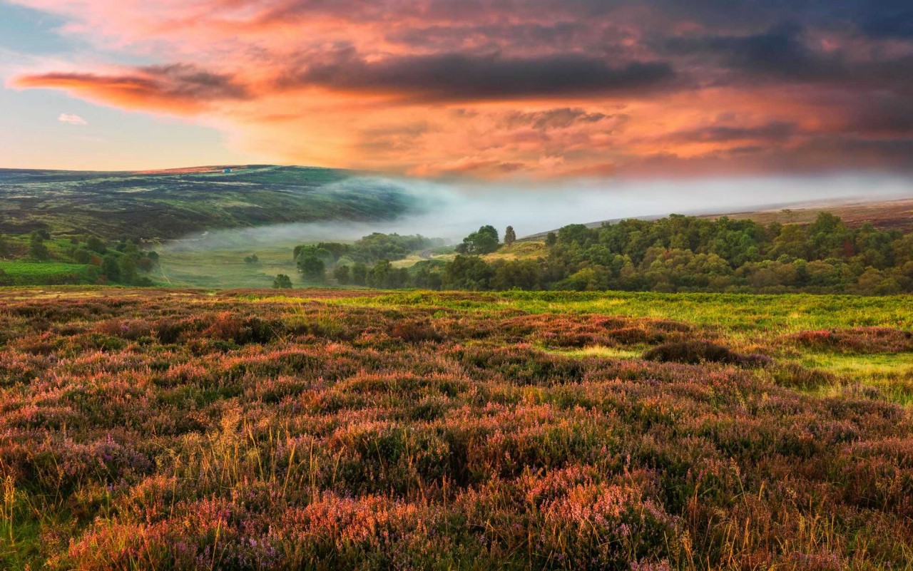
Fancy a twisty, undulating 21-mile drive, punctuated by long straights through spectacular moorland, followed by a breath of sea air? Take the A169 Whitby Road from Pickering to Whitby and you can do just that.
Best avoided during peak summer when everyone else seems to have the same idea, you can reward yourself with traditional fish and chips for lunch in Whitby Harbour. If you’re feeling energetic, tackle the 199 steps up to Whitby Abbey – the inspiration for Bram Stoker’s epic novel, Dracula.
8. Giant’s Causeway
 |
| Photo: GetYourGuide |
Known as one of the world’s great drives, the 120-mile Causeway Coastal Route hugs the coastline between Belfast and Derry-Londonderry in Northern Ireland and is more popular than ever thanks to the wild landscape’s starring role in TV hit Game of Thrones. Belfast is home to the studios where much of the series is shot, plus the brilliant Titanic Belfast exhibition.
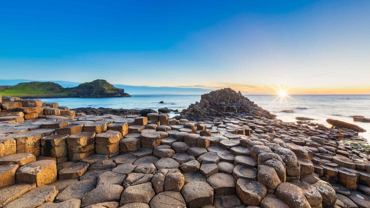
There are plenty of attractions along the way including the dramatic tubular suspension bridges of The Gobbins, Carrick-a-Rede Rope Bridge and beautiful Ballintoy Harbour, but it’s the dramatic Giant’s Causeway that is the highlight. A geological wonder, you can walk down to the intriguing polygonal stones – 40,000 interlocking basalt columns which are the result of an ancient volcanic eruption.
9. Northumberland National Park
 |
| Photo: National Parks UK |
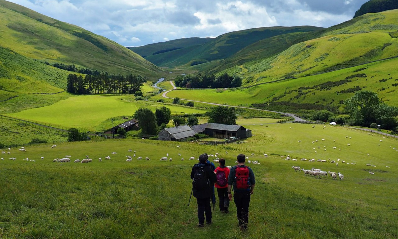
Northumberland National Park is the northernmost national park in England. It covers an area of more than 1,050 square kilometres (410 sq mi) between the Scottish border in the north to just south of Hadrian’s Wall, and it is one of the least populated and least visited of the National Parks. The park lies entirely within Northumberland, covering about a quarter of the county.
The park covers several distinct areas. In the north are the Cheviot Hills, a range of hills that mark the border between England and Scotland. Further south, the hills give way to areas of rolling moorland, some of which have been covered by forestry plantations to form Kielder Forest. The southernmost part of the park covers the dramatic central section of Hadrian’s Wall, dating from the Roman occupation.
The 10,000-year history of human habitation of the region is explored through the many archaeological sites, ranging from prehistoric monuments and Roman remains to Pele towers, constructed as a defence against invading Scots and Border Reivers.
The Park’s official symbol is the curlew.


