Hiking and mountain climbing are popular outdoor activities suitable for tourists who want to conquer challenges and have unique experiences. There are hundreds of trekking destinations in the world with scenic views, and the Ta Nang – Phan Dung route in Vietnam is one of them.
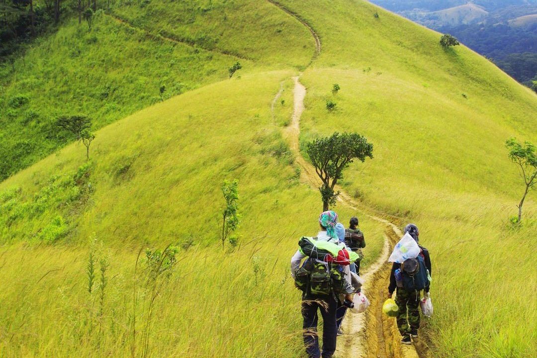
The route stretches approximately 55 kilometers over three provinces: from Ta Nang commune in Lam Dong, through Ninh Thuan, to Phan Dung commune in Binh Thuan. Travelers will begin on a three-kilometer winding hill path to the edge of a lush green forest. The best time to enjoy this trekking route is from June to December.
 |
| The route stretches approximately 55 kilometers over three provinces: from Ta Nang commune in Lam Dong, through Ninh Thuan, to Phan Dung commune in Binh Thuan. Photo: Saigon Riders |
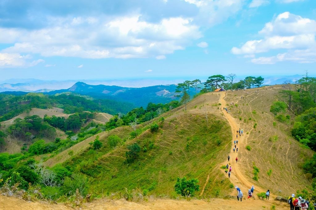
Ta Nang–Phan Dung is also a very challenging trekking route that tourists need to prepare for carefully before the trip. Some slopes are so steep that travelers have to use their hands to climb up.
Hoang Van Quang, one of the very first tourism service providers in Ta Nang commune, said, “This area has two seasons, including the rainy and dry seasons. There are two branches of the route: one goes around the hills and one passes through Yaly waterfall. Most trekkers choose the Yaly waterfall route in the rainy season when the grass is plentiful and shiny green. “
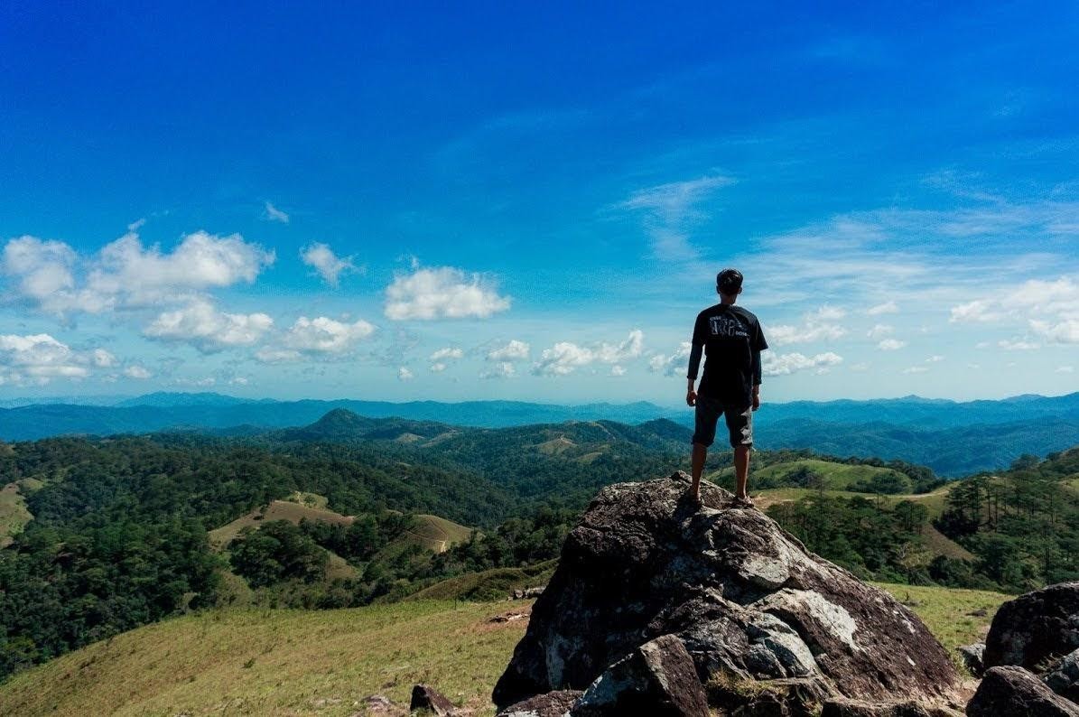
During the journey, tourists will have the chance to explore the wilderness and scenic beauty of nature surrounding Ta Nang–Phan Dung. The trekking will be tiring, but it’s worth it for the captivating landscape – green meadows that stretch to the horizon, endless green forest, and a cool wind that cools their skin and fills their lungs with fresh air.
 |
| Ta Nang–Phan Dung is also a very challenging trekking route that tourists need to prepare for carefully before the trip. Photo: Bitour |
It will take travelers three days to complete the route. People are advised to book a tour that can provide them with an experienced leader, meals, and tents. Tour companies work with the forest management forces who can rescue travelers who become exhausted or lost in the forest.
After a long trip, the trekkers can rest at the Two Pines (Hai Cay Thong) hill and camp overnight. This hill is about 900m above sea level and offers a stunning view.
To reach the Ta Nang trekking area, participants can take a bus or plane to Da Lat and then travel to Ta Hine junction (belonging to Dai Ninh Lake, Duc Trong, and Lam Dong). From Ta Hine junction, there is still a long way to the starting point of the trekking route, and tourists can rent a taxi to move to the edge of the forest.
 |
| It will take travelers three days to complete the route. Photo: Phuotvivu |
Right at Ta Hine junction, there is the local Da Loan market. On the morning of the departure day, travelers can visit this market to explore local cuisine and buy more food and necessary equipment before the trip.
The climate in the Central Highlands is divided into two distinct seasons: the rainy season and the dry season. Therefore, the Ta Nang – Phan Dung trails stand out with their own unique beauty of the green grass season and the burning grass season.
 |
| During the journey, tourists will have the chance to explore the wilderness and scenic beauty of nature surrounding Ta Nang–Phan Dung. Photo: Phuotvivu |
Burning grass season: from January to May. This time is in the dry season, so the trees are bare, and the streams are dry, making it easier for travelers to move around, even though the weather is still hot and muggy.


