“With misty mountain passes in the north, bumpy rice field-flanked tracks in the south and glorious coastal highways stretching along its spine, Vietnam just begs to be explored on four or – more commonly – two wheels,” the Lonely Planet’s staff writer James Pham reported.
| Touring around Vietnam by motorbike is a hobby for foreign travelers. Photo: TruTravel |
As the Lonely Planet suggested, with ample repair shops, gas stations and food stops along the way, discovering the country’s wonderfully diverse landscapes by motorbike could be made easy for any tourist. Below are the seven routes the website pick as Vietnam’s best road trips by two-wheeler.
Hai Van Pass
(From Danang to Lang Co Beach, distance: 20 kilometers)
|
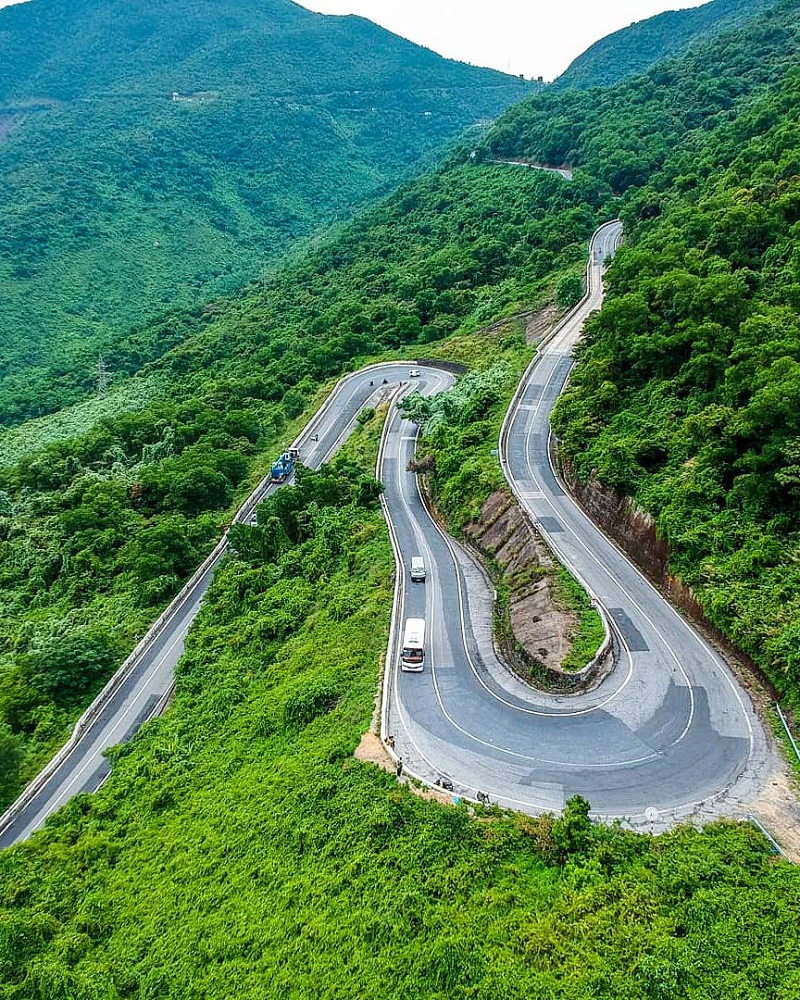
Hai Van Pass is renowned for its scenic beauty. Presenter Jeremy Clarkson, then a host of the BBC motoring program Top Gear, featured the pass during the show’s 2008 Vietnam Special, calling the road “a deserted ribbon of perfection- one of the best coast roads in the world.” Photo: Vietnam Tourism |
The Hai Van Pass is flanked by jungle-clad mountains on one side and cliffs plunging down to the East Sea on the other, a dramatic setting that has made this road one of the most Instagrammed in the world. Lonely Planet suggests travelers stop at the mid-way point for a Vietnamese iced coffee, and admire the Indochina-era Hai Van Gate and the remains of several French fortifications.
Ha Giang Loop
(For the 350 kilometer-journey run through Ha Giang province)
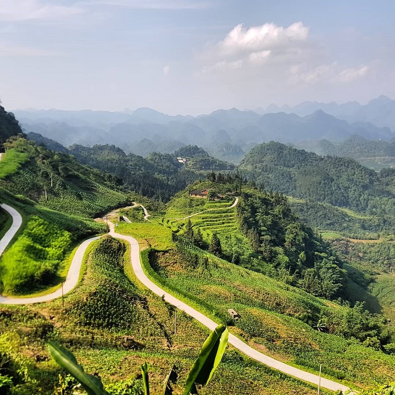
| Unlike the famous Sapa, which everyone has heard of, Ha Giang is a lesser-known and much less explored region often described as the most beautiful place in the North of the country. Photo: NoMadders |
Winding its way through communities of at least 10 different ethnic minorities, the three- to five-day drive offers loads of side trips and activities, including trekking, boating and caving. The Ma Pi Leng Pass is hands-down the most scenic section of the drive, with jagged mountains surrounding the emerald Nho Que River. The Lonely Planet’s staff-writer also suggests travelers remember to factor in a half-day for a quiet boat trip with a spot of swimming on the river.
Cao Bang to Ban Gioc
(Distance: 80 kilometers)
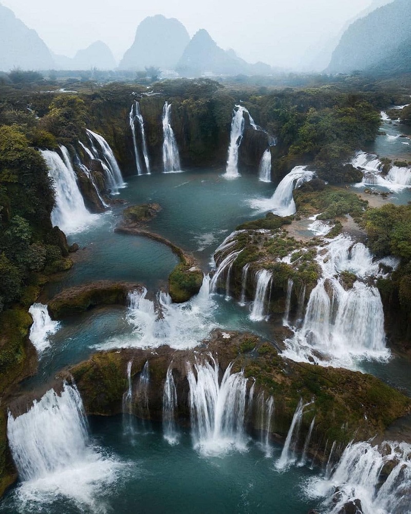
| Over thousands of years, the waterfall has eroded its crest and slowly moved upstream. It currently appears to be two waterfalls most of the time but when the river is swollen due to summer rains can form one fall again.
In Vietnamese, the two falls are considered as two parts of one waterfall with the sole name Ban Gioc. The two parts are the main waterfall and the subordinate waterfall. Photo: Chumden L |
Fed by the Quay Son River, the Ban Gioc Waterfalls are located partly in China and partly in Vietnam. Watching the falls from the viewing platforms or hop on a bamboo raft for a closer look at the impressive 30m-high cascades. While worthy of being tackled as a solo trip, this route is a popular add-on to the Ha Giang Loop.
Dalat to Nha Trang
(Distance: 134 kilometers)
| Residents and tourists are said that Da Lat has all four seasons in one day: the morning is the spring, the noon is the summer, from the afternoon to the evening is the autumn and from the night to the sunrise is the winter. Photo: DalatLandTour |
Dalat is a very unique area of Vietnam, where the scent of pine trees hangs in the air and farms cultivate strawberries, coffee and flowers instead of rice.
The paved QL27C road unfurls around hills and through tiny villages all the way to the coast, where a dip in the turquoise waters of Nha Trang Beach makes for a worthy close to this trip.
Ho Chi Minh City to My Tho
(Distance: 70 kilometers)
|
My Tho is a city in the Tien Giang Province in the Mekong Delta region of South Vietnam. Due to its proximity to Saigon, Mỹ Tho was the traditional gateway to the Mekong Delta. In the 17th century, the city had become one of the biggest commercial hubs in today’s Southern Vietnam. Photo: Vietnam Tourism |
The rice paper-flat Mekong Delta doesn’t get much road trip love because its every-shade-of-green rice fields can turn from mesmeric to slightly monotonous as the miles mount up. However, once travelers get outside of sprawling, smoggy Ho Chi Minh City, they will start to see urban shrubbery give way to majestic palms and lush banana trees.
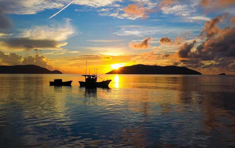
Con Dao Island
(From Dam Trau to Ben Dam in Con Dao island, distance: 25 kilometers)
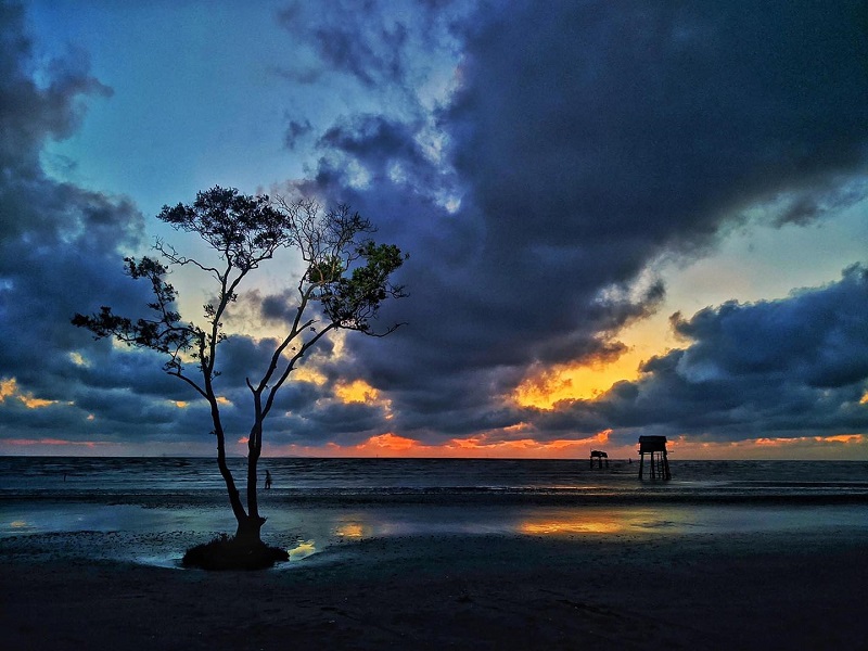
| Situated about 185 kilometers from Vung Tau city and 230 kilometers from HCMC, the group includes 16 mountainous islands and islets. The islands are composed of magmatic rocks of different ages. Photo: Vietnam Tourism |
Ho Chi Minh Highway
(From Ho Chi Minh city to Hanoi, distance: 1880 kilometers)
| Ho Chi Minh Highway runs throughout Vietnam from the north to the south. This part is in the northwest area of Vietnam. Photo: VeloAsia. |
The journey follows the road along with the Truong Son mountain range as it winds through sleepy hamlets, where the smell of coffee from nearby plantations hangs thick in the air. From barren plateau rise forested mountains as you reach Central Vietnam, considered the most scenic stretch of this epic road trip. Adventurers will want to stop at Phong Nha Ke Bang National Park, home to the world’s largest cave, and Cuc Phuong, Vietnam’s oldest national park, located in the Red River Delta, before joining the throng of traffic on the ancient streets of Hanoi.


