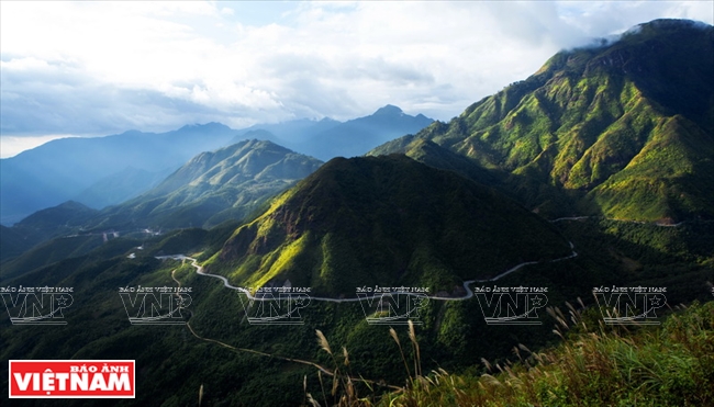
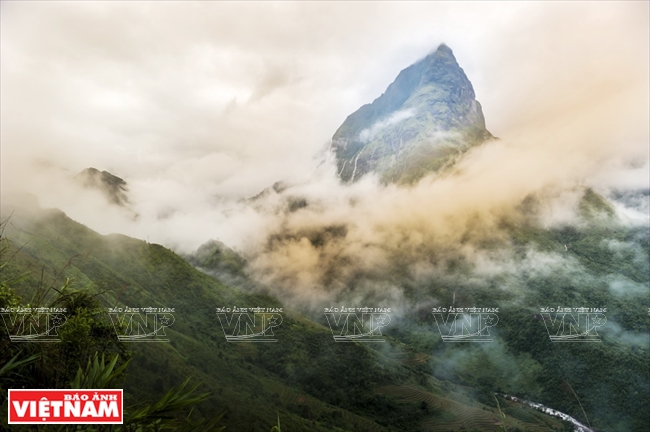
Located on Highway 4D, O Quy Ho connects Lao Cai and Lai Chau with its peak as the boundary separating the two provinces.
At 2,073 meters above sea level, the 50-kilometer pass is one of the longest and most rugged and majestic passages in the northwest. O Quy Ho is also known as “the king of passes in the northwest”.
 |
The pass is associated with a legend, where a fairy and a lumberjack named O Quy Ho met and fell in love. Because they could not get married, the fairy turned into a bird and flew over the mountain, calling out his name “O Quy Ho”.
 |
 |
The road over O Quy Ho pass has been upgraded but it is still one of the most difficult and winding passes in Vietnam’s northwest mountains, and is an inspiring destination for adventurous travelers.
Khau Pha
Khau Pha ranks second among the four great passes of northern Vietnam. The pass is located between Van Chan and Mu Cang Chai districts in Yen Bai province, stretching through many well-known places such as La Pan Tan, Mu Cang Chai, Tu Le, Che Cu Nha and Nam Co.
The pass is at an altitude of between 1,200 and 1,500 meters above sea level.
|
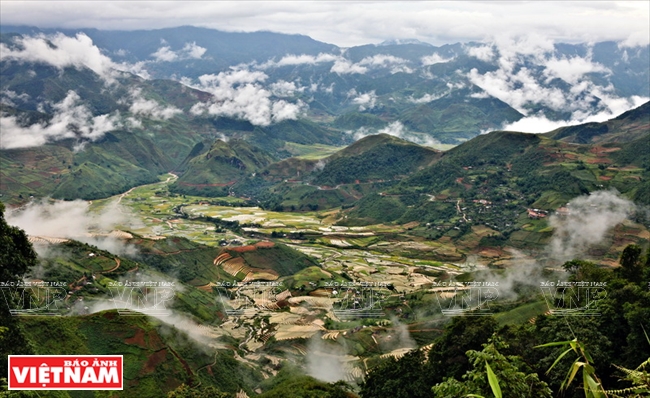 |
In the Thai language, “Khau Pha” means “sky-high horn”. The pass is most beautiful in September and October when the terraced fields turn golden with ripe rice.
Pha Din
Dien Bien province’s Pha Din pass is on Highway 6 on the border between the provinces of Son La and Dien Bien.
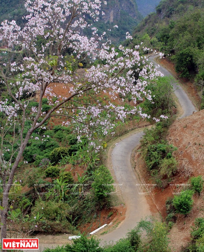 |
The 44-kilometer pass has a craggy terrain with one side, cliffs, and the other, a deep abyss. Its highest point is 1,648m above sea level.With an average slope of 8-10%, the winding pass has eight dangerous curves in the shapes of sleeves and the letters A and Z. It is really difficult to drive here during the rainy season.
 |
 |
In the middle of Pha Din are floating clouds and small villages scattered at its base. Standing on the steep slope, visitors can see the Muong Quai valley amid immense green mountains.
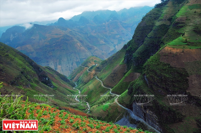
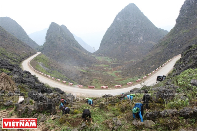
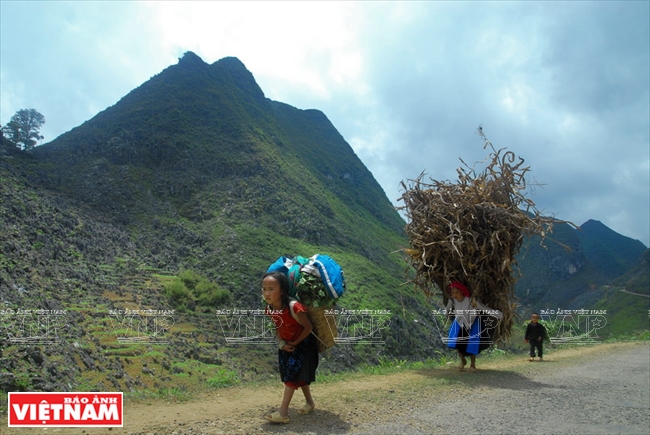
Ma Pi Leng
Ma Pi Leng in Ha Giang province is a dangerous 20-kilometer pass crossing Ma Pi Leng mountain with an altitude of about 2,000 meters in Dong Van plateau. It is located on the Happy road connecting the towns of Dong Van and Meo Vac in Ha Giang province.
 |
Happy road was built by tens of thousands of young volunteers from 16 ethnic groups from 1959-1965. The section passing Ma Pi Leng was built by the young men on the suicide team, who hung themselves from the cliffs digging every inch. Ma Pi Leng is considered the “Great Wall” of Vietnam or the Pyramid of the Mong.
 |
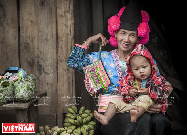
Ma Pi Leng literally means “horse nose”. Figuratively, it means danger of a vertical mountain, which can make a climbing horse stop breathing. On Ma Pi Leng peak, visitors feel as if they are lost in heaven with the amazing scenery of the year-round green Nho Que river and high mountains./.
Story: Cong Dat Photos: VNP


