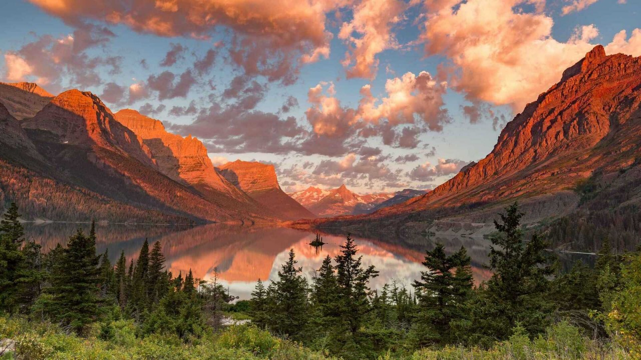
Glacier National Park is an American national park located in northwestern Montana, on the Canada–United States border, adjacent to the Canadian provinces of Alberta and British Columbia. The park encompasses more than 1 million acres (4,000 km2) and includes parts of two mountain ranges (sub-ranges of the Rocky Mountains), more than 130 named lakes, more than 1,000 different species of plants, and hundreds of species of animals. This vast pristine ecosystem is the centerpiece of what has been referred to as the “Crown of the Continent Ecosystem,” a region of protected land encompassing 16,000 square miles (41,000 km2).
“Crown of the Continent” is an apt nickname for this pair of parks, which feature some of the most impressive mountain scenery in North America. Joined together since 1932 as the world’s first international peace park, Glacier National Park in Montana and Watertown Lakes National Park in Alberta offer a contiguous high-country wonderland of rock, ice, water, and wood.
 |
| Photo: Tripsavvy |
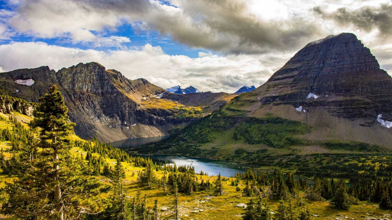
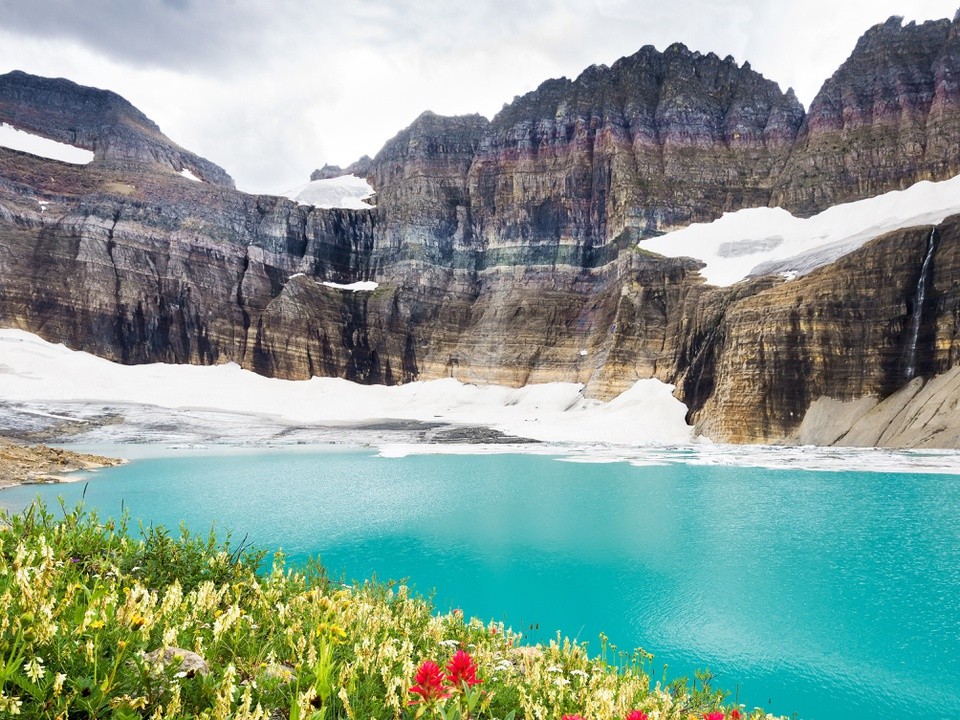
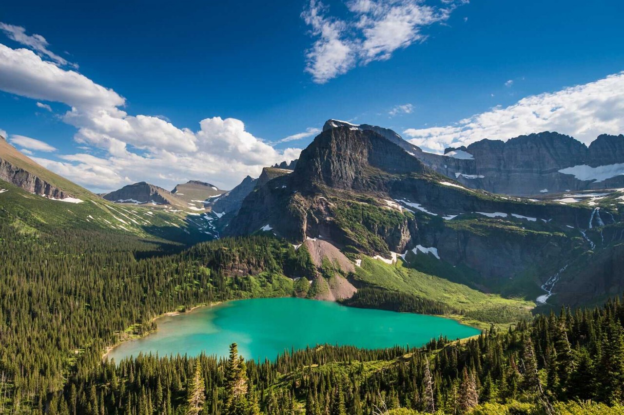
Glacier, a beloved park in northwestern Montana, takes its name from the many glaciers and glacial forces that shaped its rugged topography over two million years. While the park is still home to more than a dozen glaciers, even more impressive are the massive U-shaped valleys and hulking granite peaks carved by long-ago ice flows.
The History of Glacier National Park: Crown of the Continent
A vivid journey, through the pages of history, revealing the natural forces that created the park’s majestic landscape.
The documentary “The History of Glacier National Park, Crown of the Continent” is a vivid journey, through the pages of history, revealing the natural forces that created the park’s majestic landscape. By also exploring its cultural and economic history, the human impact is observed, including what the future might hold for this park as its glaciers quickly vanish.
 |
| Photo: Vogue |
Glacier was established as a national park on May 11, 1910, America’s 10th national park. Early newspapers touted its alpine scenery and numerus glaciers as reasons to visit the park. The great Northern Railway future enticed visitors with new hotels, chalets, and horse trails through the back country. They invited American’s to “See America first” and to use their railway to get to Glacier.
But Americans love for the automobile was growing and with that growth roads through the park were in demand. The first road planned called for 15 switchbacks up the side of the mountain to get to and over Logan pass. But the final road, built in the late 1920’s, left a much smaller footprint on nature with only 1 switchback and was cut into the rock cliffs. Today the Going to the Sun Road is awarded one of the best mountain roads in America and is considered to be blueprint for merging man with nature.
Can’t-miss experiences
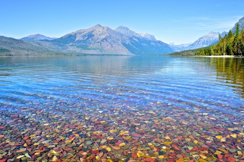
Nobody leaves the park without driving at least a section of Going-to-the-Sun Road. Constructed during the Great Depression by Civilian Conservation Corps workers, the 50-mile route could easily double as a a rollercoaster ride up and over the Continental Divide. Whether you start from Lake McDonald in the west or Lake St. Mary in the east, your hands will surely be sweaty by the time you finish.
 |
| Photo: GetYourGuide |
Among the many landmarks along Going-to-the-Sun Road are Avalanche Creek with its ancient hemlock-cedar forest, a wicked switchback called the Loop, a roadside Weeping Wall, and the overlook for big Jackson Glacier. The Continental Divide splits the road at the 6,646-foot-high Logan Pass, where a visitor center and bookstore provide shelter from the chilly highland weather.
Mountain goats, bighorn sheep, and marmots inhabit the rocky slopes around Logan Pass, which is also a hub for several great hikes, including the family-friendly Animal Super Heroes Trail and the 1.5-mile nature trail to Hidden Lake. The western end of Lake St. Mary, where trails lead to three splendid waterfalls, is another great place to hike.
Apgar Village anchors the western end of the road with its lakeside hotels, restaurants, shops, and visitor center. During summer, scenic cruises run along Lake McDonald; kayaks, canoes, rowboats, and paddleboats are also available for rent. Camas Road heads north from the village to lakeshore access at Rocky Point and a bridge over the North Fork Flathead River that provides a great perch for snapping scenic shots of the front range. A rough gravel road continues into the park’s rarely visited North Fork Area and super-secluded camping spots beside Kintla Lake and Bowman Lake.
 |
| Photo: glacierhighline |
Highway 2 loops around the south end of Glacier, flitting in and out between the park and two national forests (Flathead and Lewis and Clark). About halfway along is Goat Lick Overlook, where you can gaze across the valley at a lofty railroad trellis and possibly spot Rocky Mountain goats clinging to the cliffs.
Glacier National Park is dominated by mountains which were carved into their present shapes by the huge glaciers of the last ice age. These glaciers have largely disappeared over the last 12,000 years. Evidence of widespread glacial action is found throughout the park in the form of U-shaped valleys, cirques, arêtes, and large outflow lakes radiating like fingers from the base of the highest peaks. Since the end of the ice ages, various warming and cooling trends have occurred. The last recent cooling trend was during the Little Ice Age, which took place approximately between 1550 and 1850. During the Little Ice Age, the glaciers in the park expanded and advanced, although to nowhere near as great an extent as they had during the Ice Age.
During the middle of the 20th century, examining the maps and photographs from the previous century provided clear evidence that the 150 glaciers known to have existed in the park a hundred years earlier had greatly retreated and disappeared altogether in many cases. Repeat photography of the glaciers, such as the pictures taken of Grinnell Glacier between 1938 and 2015 as shown, help to provide visual confirmation of the extent of glacier retreat.
Best Months to Visit
 |
| Photo: cbsnews |
The best time to visit Glacier National Park is in July and August. This is the peak season for visitors, with daytime temperatures averaging in the low 80s and nighttime temps dipping into the 40s (pack layers, as well as a good rain jacket). You may even see snow in June and July in the higher elevations; the east side of the park tends to be cooler and windier than the west side. The east side is also drier, while the valleys in the west see most of the rainfall. Although lodging rates and entrance fees will be higher during peak season, most facilities will be open and the complimentary shuttle service will be running. You’ll also experience fewer road and trail closures than in the fall, winter and spring months. The park is open 365 days a year.
Getting Around Glacier National Park
 |
| Photo: nbcnews |
The best way to get around Glacier National Park is by car or by using one of the park’s shuttle services. If you’re arriving by car, Highway 2 runs along the southern edge of the park, while Highway 89 offers access on the east side. Glacier Park International Airport (FCA), located about 25 miles south of the park and about 10 miles northeast of the city of Kalispell, is serviced by multiple airlines including Delta, United, Alaska and Allegiant. The airport offers rental cars from several major companies. There are also several shuttles and transport services that run from the airport.


