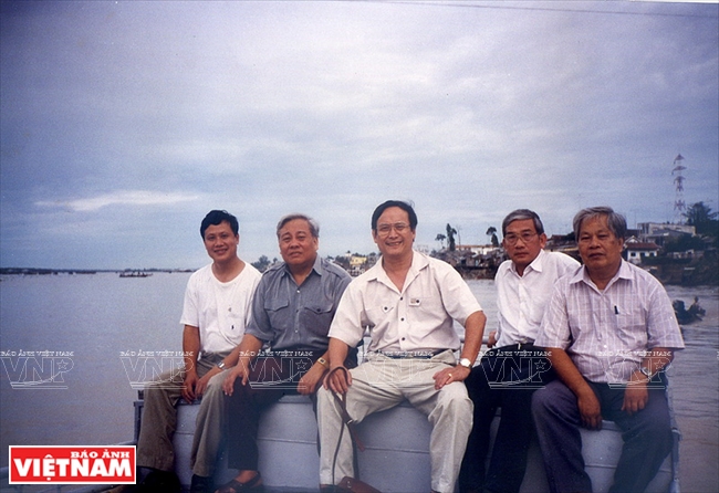
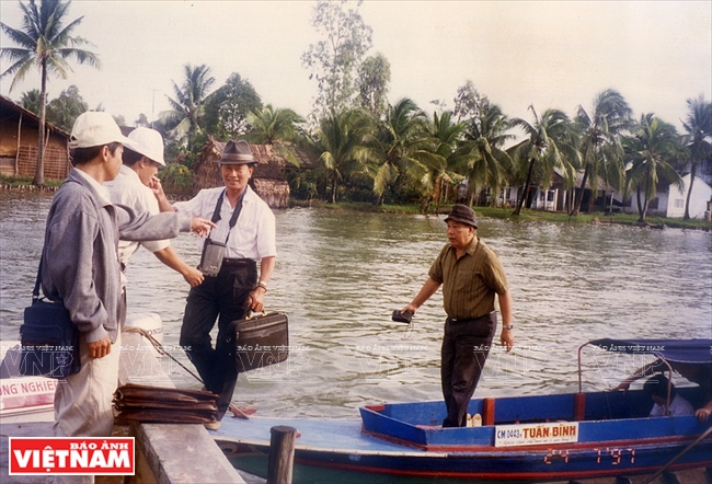
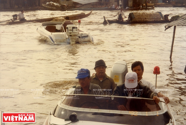
Recalling those days, Associate Prof. Chin said that there were days they had to go through the fields and at night they saw that their legs were black and blue with scratches caused by thorns and rush. Some of researchers had to leave their work unfinished and return to the city because they were allergic to the plants. At that time, he and the rest of the group that was left remembered the words of former Vice Chairman of the Council of Ministers Vo Van Kiet – “Living with Floods” and “Draining Floodwater to the Western Sea” – an impetus for them to overcome tremendous difficulties to conduct important studies to help transform the land.
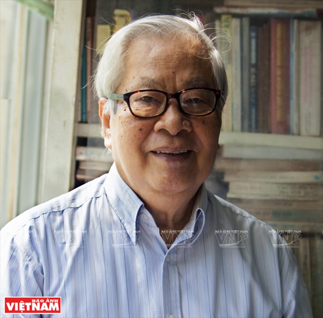 Portrait of Dr. Ho Van Chin from the Ho Chi Minh Institute for Resources Geography. Photo: Thong Hai 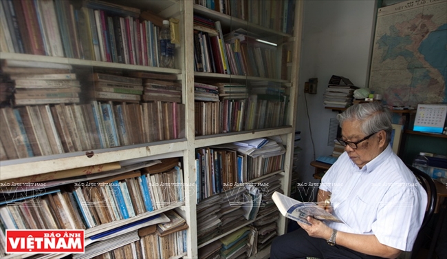 Dr. Ho Van Chin reads documents before each field trip. Photo: Thong Hai 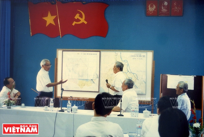 Dr. Ho Van Chin exchanges with late Prime Minister Vo Van Kiet at a conference. Photo: File 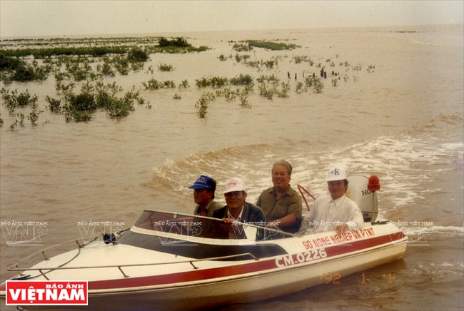
|
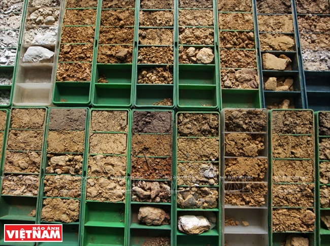
Based on analyses in reality, the researchers summarised their findings into a study on reclaiming Dong Thap Muoi. They helped the local inhabitants clearly understand which plants should be cultivated on which type of soil and the extremely important role of irrigation in agricultural production with a system of canals that helped drain floodwater, and salt water, carry fresh water and wash away alum.
Their studies contributed to reclaiming and transforming hundreds of thousand hectares of waste land into the largest rice producing area in the country with a total rice output of 3.5 million tonnes /year (according to the data in 2014). Talking about their success, Dr. Ho Van Chin said happily: “Our studies are high in practical applications , not only at present but also in the next ten or twenty years”.
Following the above success, Dr. Ho Van Chin continued conducting a research project entitled “Controlling Floods in Long Xuyen Quadrangle and Draining Floodwater to the Western Sea”. After three years, 1997-1999, from a water covered area, Long Xuyen Quadrangle is full of immense rice paddies and has become more crowded.
Over the years, he has also conducted many studies in different barren and poor provinces nationwide, including Ca Mau, Binh Thuan, Quang Binh, Quang Tri and Thua Thien Hue. In each locality, his research always proves a highly practical application to help form and develop specific agriculture.
|
Associate Prof., Dr., Ho Van Chin called on scientists from different institutes, including Nguyen Sinh Huy (the Institute for Resources Geography), Nguyen Tan Dac (The Institute for Applied Mechanics), Cao Tat Thuan (the Southern Institute for Water Resources Planning) and Nguyen Dinh Phuoc (Former Deputy Director of the Southern Hydrometeorology to establish a group who volunteered to go to Dong Thap Muoi and Long Xuyen Quadrangle to conduct practical research. |

